
NIGERIA · IRRIGATION · EARTH OBSERVATION
NiiMS.
Nigeria Irrigation Intelligence
Monitoring System
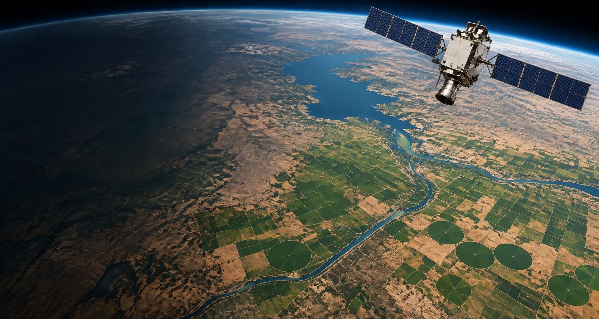
Satellite observation of irrigation schemes and infrastructure across Nigeria. A clearer view of our crops, our water and the systems that sustain them.
Observing crops. Understanding change.
FROM ORBIT TO IRRIGATION
A national perspective.
A scheme-level understanding.
NiiMS brings satellite observations and geospatial analysis together to examine vegetation, water use and irrigation infrastructure. Source-labelled evidence helps institutions understand change, compare schemes and support informed irrigation decisions.
Vegetation & crop condition
Sentinel-2 observations reveal vegetation patterns and seasonal change within mapped scheme boundaries.
View vegetationWater & irrigation performance
FAO WaPOR water use and productivity, rainfall and satellite water-body indices put irrigation performance in context.
View water observationsAn evidence-first path to AI
Today's measured observations establish the foundation for future AI-assisted change detection and irrigation decision support.
AI CAPABILITIES · FUTURE DEVELOPMENT